Options for Sunday Road Rides
Sunday Downtown and Islands Tour
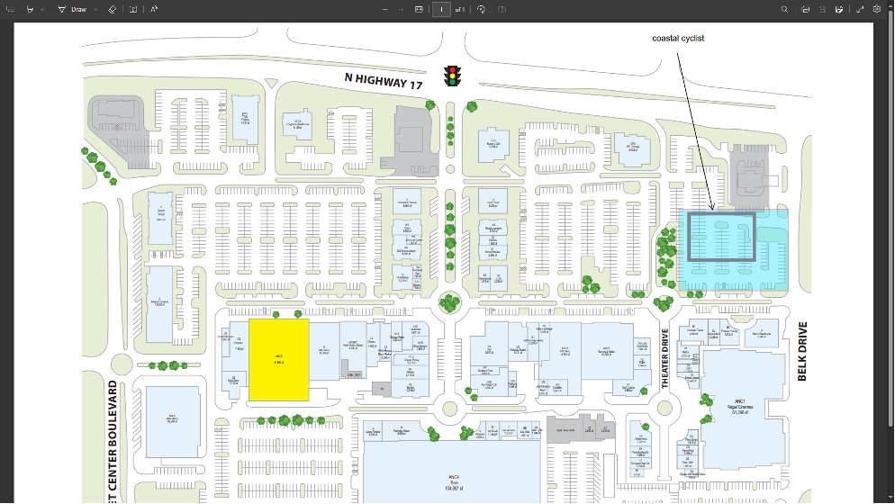
Both long and short routes start at the same place. The diagram below shows where you can park at Town Center.
Mt. Pleasant Memorial Waterfront Park - photo stop (6.1 miles)

We’ll ride into Mt. Pleasant Memorial Waterfront Park and out onto the pier underneath the Ravenel Bridge, which connects Mt. Pleasant to Charleston. The bridge opened in 2006 with a span of 1576 feet.
A single concrete tower from one of the old bridges is still standing along our route on the Charleston side. See if you can identify it as we ride!
Ravenel Bridge - photo stop at the top (8.7 miles)
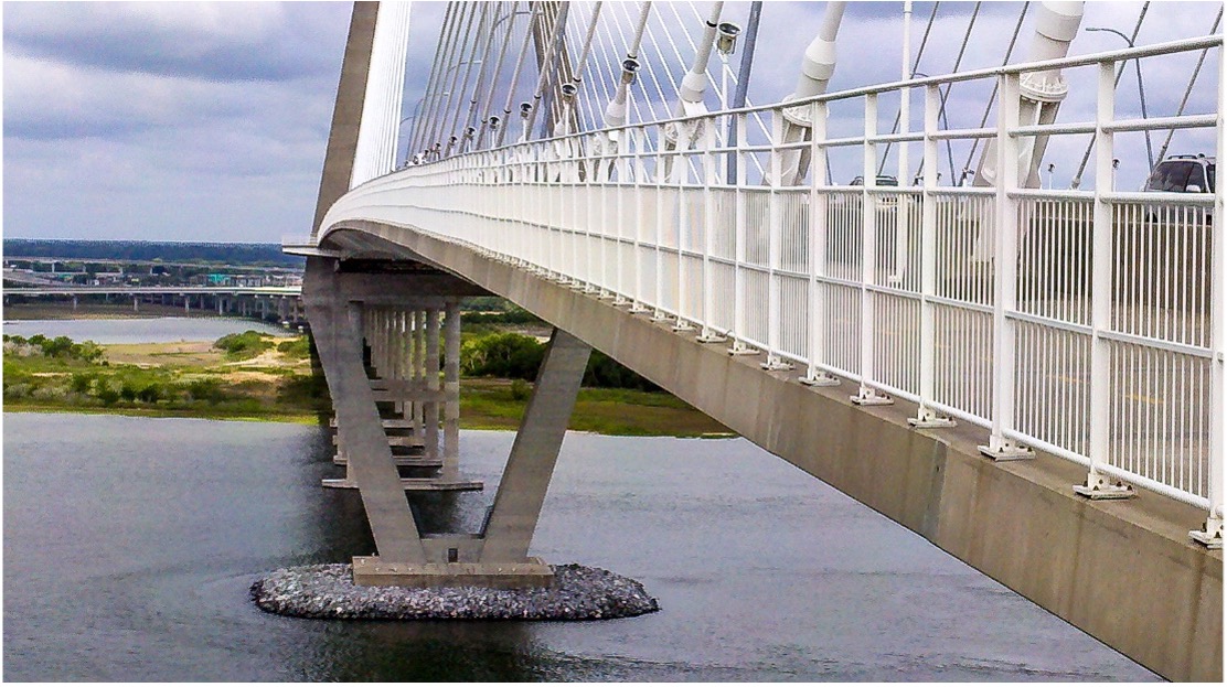
At the top of the bridge, at an elevation of 186 feet above the Cooper River, you’ll have a fabulous view of Patriots Point with its naval ship museums, downtown Charleston, the harbor, Fort Sumter, Sullivan’s Island lighthouse, and possibly a cruise ship or container ship coming or going.
Remember, the lane right next to the white railing is for pedestrians!
The Battery and Whitepoint Gardens -photo stop (17.5 miles)
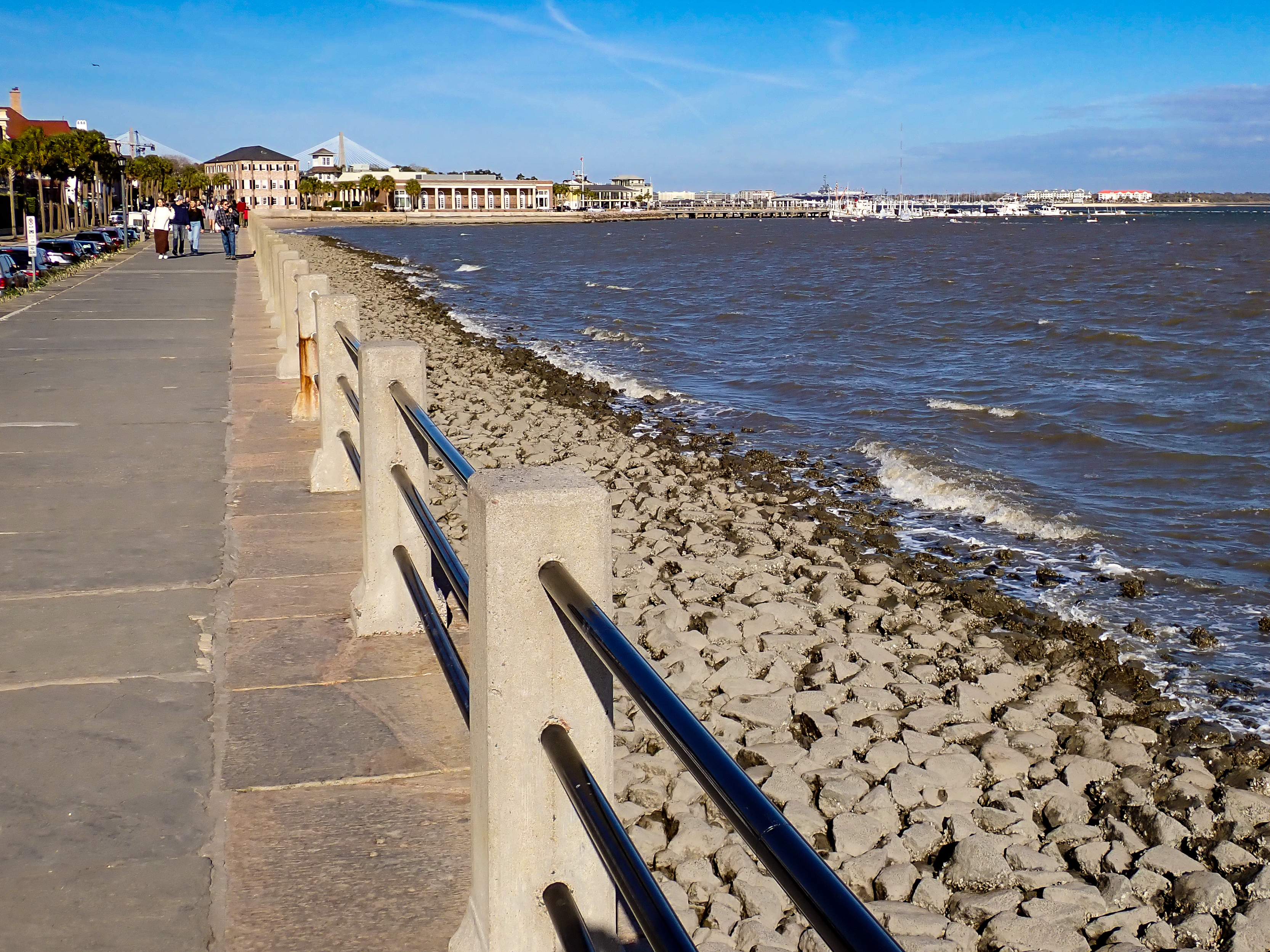
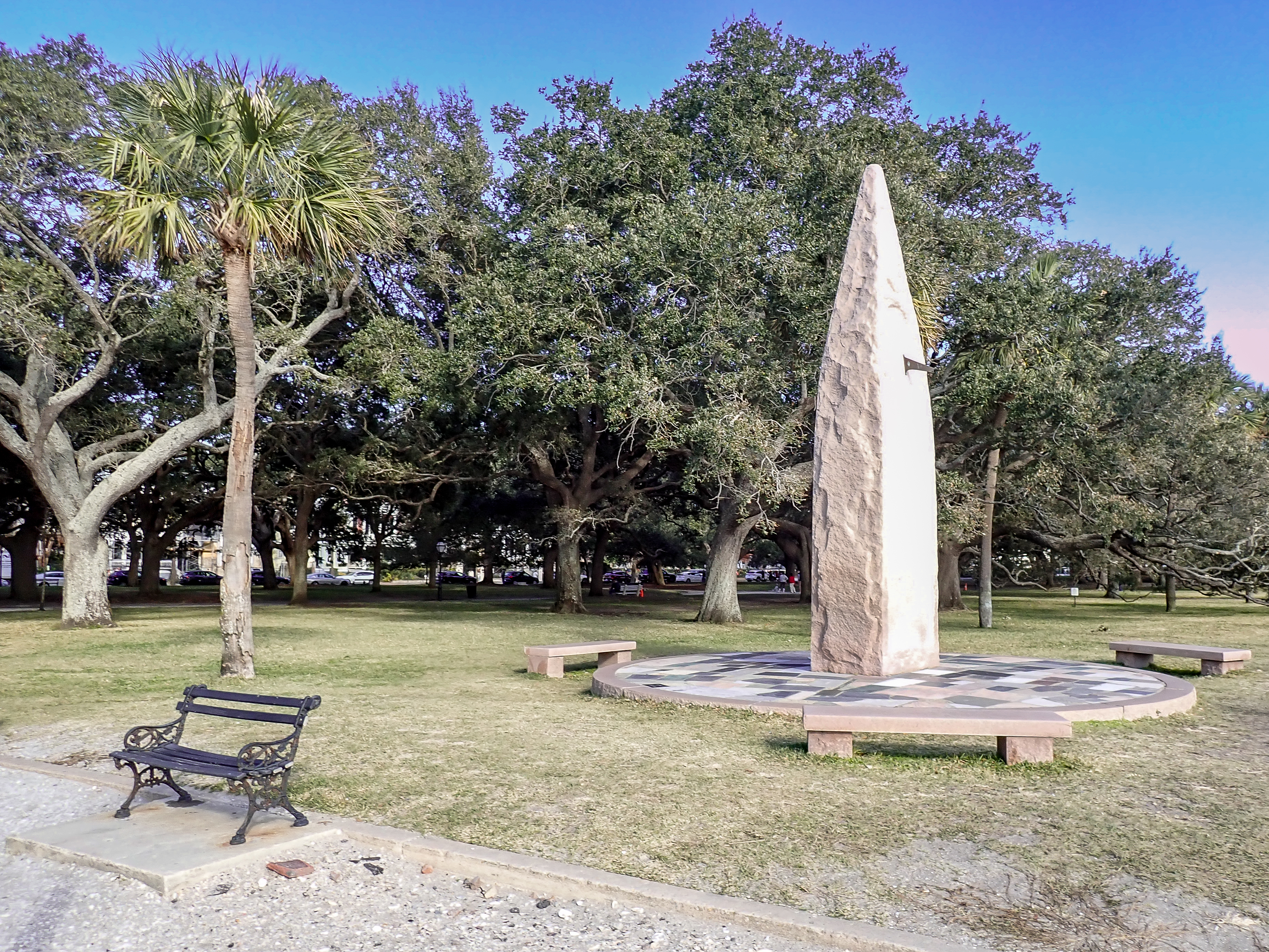
At the south end of the Charleston peninsula, the Battery is where the Ashley and Cooper Rivers meet to form Charleston Harbor. Or, if you're talking to a Charleston native, it's where the Ashley and Cooper Rivers come together to form the Atlantic Ocean! Great views await!
The wall along the Ashley River is currently being raised and rebuilt, so we may need to detour away from the river for a few city blocks to avoid it.
Heading north, we’ll pass the Carolina Yacht Club as we approach famous Rainbow Row.
Rainbow Row (18.0 miles)
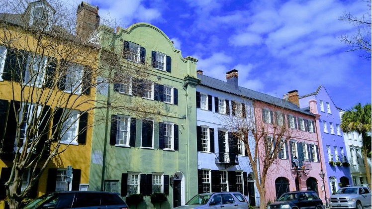
Iconic historical row houses on East Bay Street. We’ll pass the splash fountain at Waterfront Park.
The International African American Museum (19.0 miles)
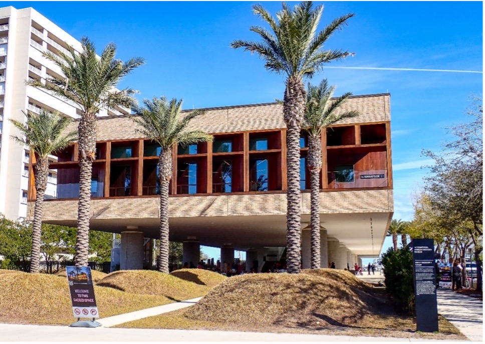
This new, world-class museum has been open less than 2 years. It is a highly recommended experience if you have the time. It is built on the site where a large portion of enslaved Africans first landed in North America.
Patriots Point -photo, bathroom and water stop. (24.2 miles)

We’ll ride into Patriot’s Point Park, passing the field where the Charleston Battery soccer team plays, and out onto the pier, with views of the naval vessel museums, downtown and the harbor. It’s common to see dolphins swimming near the pier and marina.
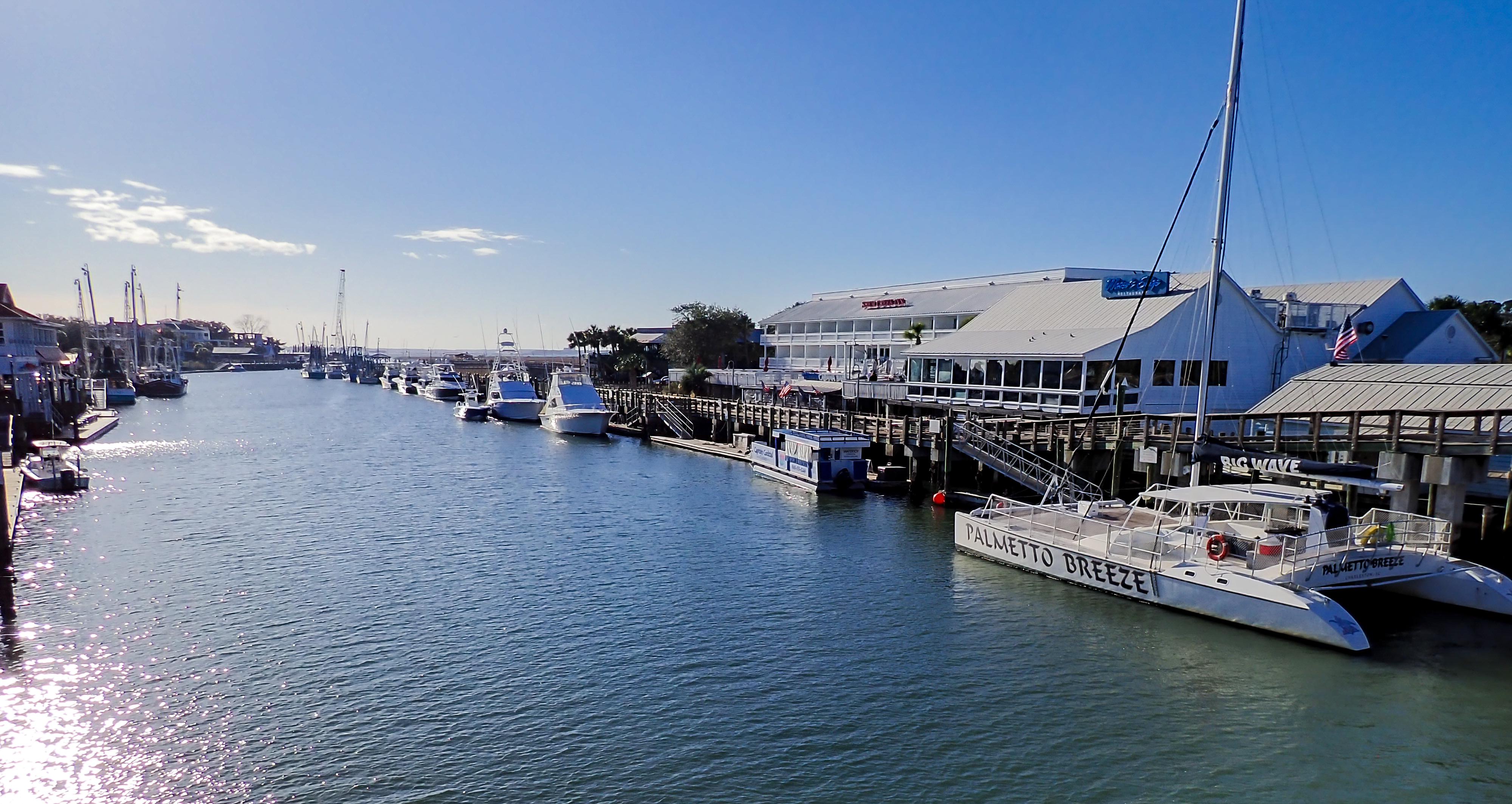
Shem Creek and Mt. Pleasant Old Village (27.3 - 30.0 miles)
On the way, we’ll cross over Shem Creek (26.9 miles), where you’ll usually see kayakers and paddle boarders, then into the Old Village, the oldest section of the historic town of Mount Pleasant. This land was once inhabited by Seewee Indians.
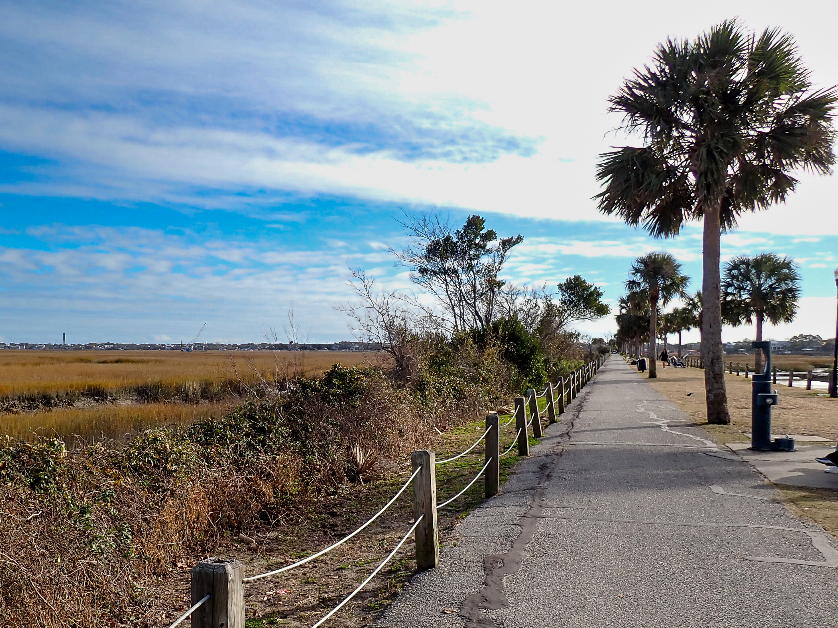
Pitt Street Park -photo stop (29.0 miles)
We’ll briefly stop at Pitt Street Park, which officially is the Pickett Bridge Recreation Area. It's long and thin because it’s the location where a trolley ran from Mount Pleasant to Sullivan’s Island from 1898 until 1927. After that, it was a roadway until 1945 when the Ben Sawyer Bridge to Sullivan’s Island opened.
Ben Sawyer Bridge (31.9 miles)
We’ll cross this bridge to get onto Sullivan’s Island. It’s a swing bridge that just might be open briefly for tall boat traffic when we get there.
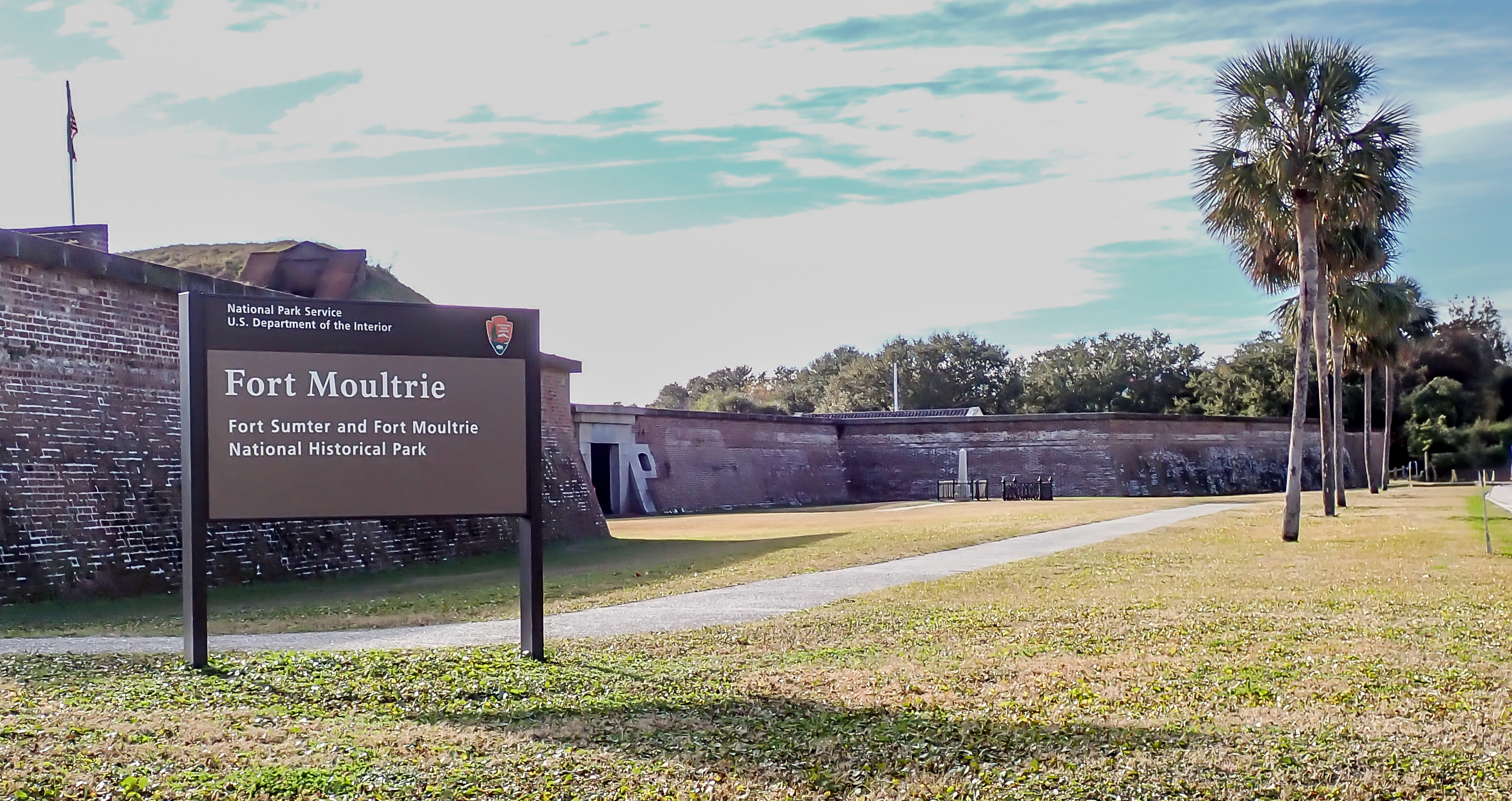
Fort Moultrie - photo, bathroom and water stop. (34.2 miles)
The fort across the street from the visitor’s center was attacked by the British Royal Navy in June 1776. Just before we stop at the visitor's center, we’ll go down a short road to the beach for a view of Fort Sumter and the Morris Island Lighthouse (34.7 miles).
.jpg)
Charleston Light (35.3 miles)
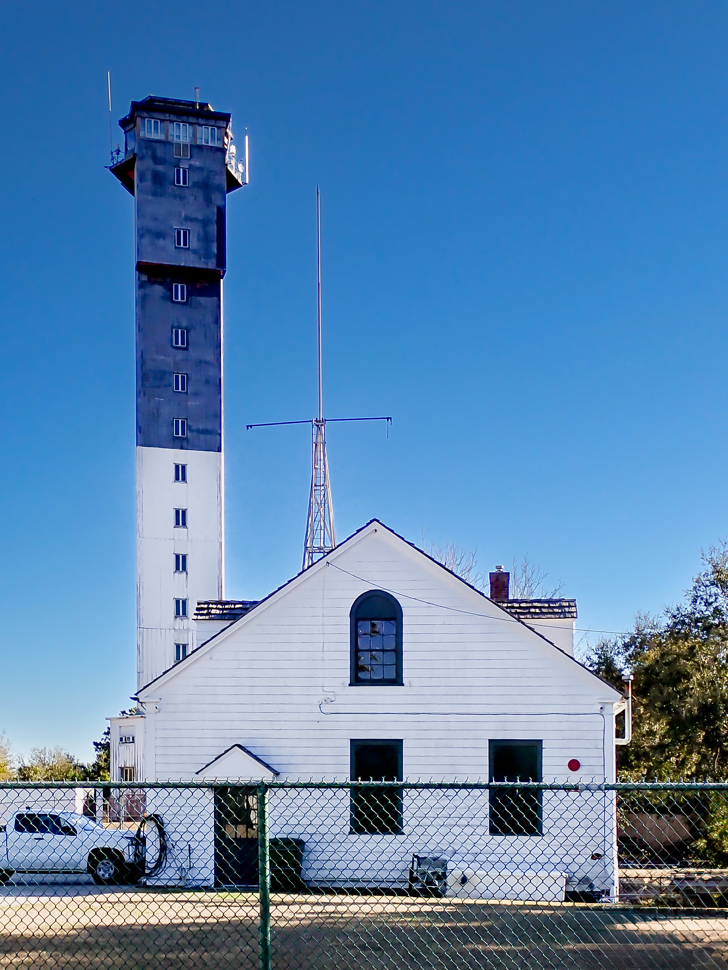
Generally known locally as the Sullivan's Island lighthouse, it went into service in 1962 as a replacement for the Morris Island Light. It is the last onshore manned lighthouse built in the United States and is still in service.
Breach Inlet (37.8 miles)

Heading north, we’ll cross Breach Inlet Bridge, which connects Sullivan's Island to Isle of Palms. On your right, the ocean, on your left, the Intracoastal Waterway. This is the location that the H.L. Hunley submarine was launched to sink the Housatonic in 1861, marking the first successful use of a submarine in combat.
Isle of Palms Connector - photo stop (40.2 miles)

The 2.5-mile bridge will take us over the Intracoastal Waterway and salt marsh and back into Mount Pleasant. It was built after Hurricane Hugo (1989) damaged the Ben Sawyer Bridge, leaving no other way to get to the islands without a boat.
The "V-shaped" island on the left of the photo is Goat Island; many homes are there but only accessible by boat.
We’ll turn off the IoP Connector onto Hungry Neck Blvd. The odd name of the road is either from an old plantation name or the fact that this area was considered to have poor soil for growing food! No one is sure. We'll approach the parking lot where we started at Mt. Pleasant Town Center. Back at Town Center where we started, you'll find several great places for lunch!
Guided Charleston History Tour
This is a two-hour tour by bicycle led by a licensed Charleston tour guide around the peninsula. You will need to register in advance and the number of riders is strictly limited to twenty (20) per tour. You cannot just show up on the day of the ride without a reservation. While riding about thirteen (13) miles around Charleston you will hear about Charleston's history from its foundation in the 17th century through the pirate era, the War of Independence, slavery and the War Between the States, Reconstruction, the 20th century and the future of Charleston.
The ride will start and end at the history Magnolia Cemetery, 70 Cunnington Avenue, Charleston, SC. You can bike to the start easily from downtown Charleston or park at the cemetery.
The ride will proceed at a slow pace (under 10MPH) as you make multiple stops at points of interest and traffic lights. Given the slow pace and the downtown location, you could rent one of the Lime bikes which are available around town. HELMETS WILL BE REQUIRED! There will be a morning tour at 10:00AM and an afternoon tour at 2:00PM. If you cannot make it, please let us know in case someone else is on the waiting list.
The following sites will be included:
- Magnolia Cemetery include the Confederate war graves
- International African American Museum and Liberty Park
- The Powder Magazine (oldest building in Charleston)
- Rainbow Row
- White Point Gardens and the Low Battery
- Four Corners of Law (Broad at Meeting)
- Old Charleston Jail
- Colonial Lake
- The Citadel
- Hampton Park
 Just a moment...